Casey Coleman · 6 September 2026
Coastal Water Circulation Models Reveal New Strategies for Estuary Management
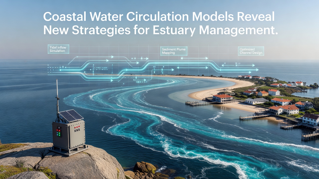
Coastal water circulation models simulate the movement of water, salt, sediment and nutrients through estuaries where rivers meet the sea, and these tools have expanded in recent years as computing power and observational data sets have grown. Researchers combine three-dimensional hydrodynamic equations with real-time inputs from tides, wind stress, river discharge and bathymetry to produce forecasts that run from hours to seasonal scales. Data from these models now guide decisions on where to place restoration projects, how to time dredging operations and how to adjust wastewater releases so that dissolved oxygen levels remain above critical thresholds for fish and shellfish.
Model Components and Data Inputs
Modern circulation models such as ROMS and FVCOM divide estuary domains into horizontal grids that range from tens of meters near shorelines to several kilometers offshore, while vertical layers capture density stratification caused by freshwater plumes overlying saline bottom water. Boundary conditions come from larger-scale ocean models and from tide gauges maintained by national agencies, whereas river flow records supplied by the U.S. Geological Survey and equivalent organizations in Canada and Australia supply the freshwater volume that drives gravitational circulation. Satellite-derived sea-surface temperature and salinity measurements from the European Space Agency’s Sentinel-3 mission provide additional constraints that reduce model drift over multi-week simulations.
Strategies Emerging from Circulation Patterns
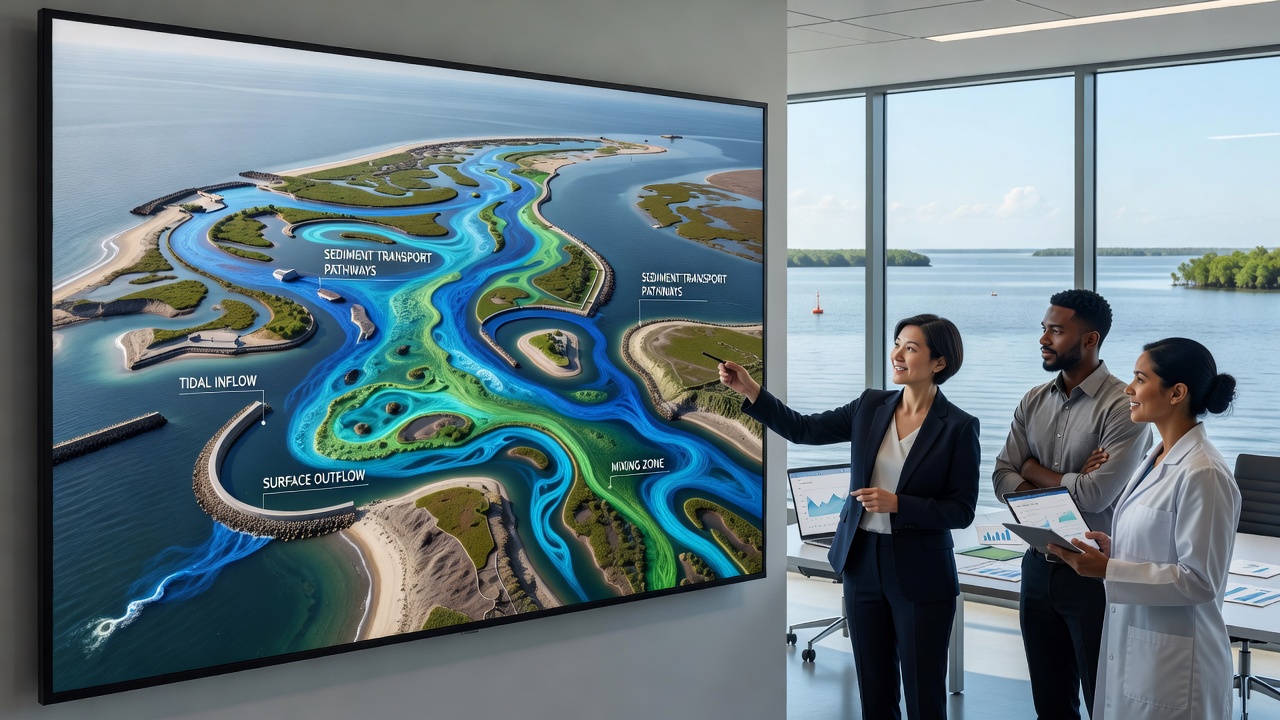
Model runs completed in 2025 and presented at the Coastal Estuarine Research Federation meeting in September 2026 identified several previously under-appreciated flow pathways that managers can exploit. In one system, residual eddies that persist after spring-neap cycles concentrate larvae of commercially important crab species near specific shoals, prompting state agencies to designate those shoals as no-harvest zones during peak settlement periods. In another estuary, the models showed that a narrow channel connecting two basins allows rapid exchange during strong along-estuary winds, so managers now schedule maintenance dredging of that channel immediately before anticipated storm seasons to maintain flushing capacity.
Targeted placement of oyster reefs has also shifted because simulations reveal that certain mid-estuary locations experience consistent landward bottom currents capable of delivering phytoplankton to filter feeders without exposing them to prolonged low-salinity events. Australian researchers working on the Swan River estuary used similar model output to recommend relocation of a proposed ferry terminal away from a gyre that would otherwise trap vessel-wake sediment near seagrass beds.
Case Applications Across Regions
Along the Gulf of Mexico coast, the National Oceanic and Atmospheric Administration has integrated circulation forecasts into its hypoxia monitoring program, allowing wastewater treatment plants to reduce nutrient loads on days when model output indicates weak stratification and therefore higher risk of bottom-water oxygen depletion. In the Baltic Sea, the Finnish Environment Institute couples its estuary model with real-time buoy data to issue advisories for recreational boaters when currents could spread algal blooms from river mouths into archipelago waters. Canadian scientists at Fisheries and Oceans Canada have applied the same framework to the Fraser River estuary, where projected sea-level rise alters the position of the salt wedge and therefore the upstream extent of juvenile salmon habitat.
Integration with Management Frameworks
Regulatory bodies now require circulation model results as part of environmental impact assessments for port expansions and coastal development. The Australian Department of Climate Change, Energy, the Environment and Water incorporates model-derived residence-time maps when evaluating applications for new aquaculture leases, because longer residence times increase the likelihood of localized eutrophication. European Union member states apply similar criteria under the Marine Strategy Framework Directive, using model outputs to define “good environmental status” thresholds for nutrient concentrations and benthic communities.
Calibration against long-term monitoring networks remains essential. Observers note that models initialized with only historical averages often miss episodic events such as tropical-storm-driven surges that reset salinity gradients for weeks afterward. Continuous data streams from acoustic Doppler current profilers and conductivity-temperature-depth sensors therefore feed into data-assimilation routines that update model states every six hours, improving forecast skill for the following tidal cycle.
Conclusion
Circulation models continue to evolve as new sensor platforms and higher-resolution bathymetric surveys become available, and the resulting strategies for estuary management reflect these incremental improvements. By linking physical transport pathways to ecological outcomes, the models provide quantitative support for decisions that affect water quality, habitat connectivity and economic uses of estuarine resources across multiple continents.