Erik Neumann · 4 October 2026
Exploring Sediment Redistribution Mechanisms in Dynamic Coastal Inlet Environments Reveals Patterns That Researchers Have Documented Through Field Measurements and Modeling Techniques
Field Measurement Approaches in Inlet Systems
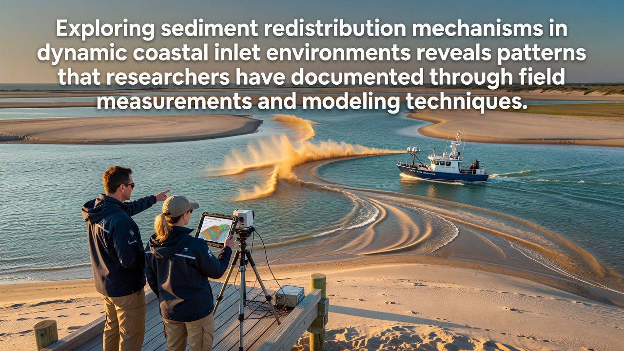
Researchers deploy current meters, sediment traps, and bathymetric surveys to capture real-time data on how tides, waves, and river inflows move sand and silt through inlet channels, and these instruments record velocity profiles alongside suspended sediment concentrations at multiple depths. Data collected from sites along the US Atlantic coast and the coasts of Australia show that ebb and flood cycles create distinct transport pathways, while wind-driven waves add cross-shore components that shift material between flood-tidal deltas and ebb-tidal shoals. In October 2026, updated lidar surveys from several monitoring programs confirmed seasonal adjustments in inlet throat widths that correlate with measured changes in longshore transport rates.
Acoustic Doppler current profilers provide continuous records that reveal how storm events accelerate redistribution events, and these records integrate with grab samples that identify grain-size distributions moving through the system. Observers note that inlet-adjacent beaches often receive pulses of coarser sediment during high-energy periods, whereas finer fractions settle in back-barrier lagoons when velocities drop below critical thresholds for resuspension.
Modeling Techniques That Reproduce Observed Transport
Numerical models such as Delft3D and XBeach simulate coupled hydrodynamics and morphodynamics by solving shallow-water equations alongside sediment continuity relations, and calibration against field datasets improves their ability to hindcast inlet evolution over multi-year periods. Researchers adjust bed roughness parameters and sediment transport formulas until modeled bed-level changes match measured bathymetry within acceptable error margins, and sensitivity tests identify which forcing variables dominate under different wave climates. One study at a Pacific Northwest inlet demonstrated that incorporating wave asymmetry and infragravity motions produced more accurate predictions of ebb-delta breaching than earlier versions limited to tidal forcing alone.
Process-based models now couple with regional wave hindcasts from sources like the National Oceanic and Atmospheric Administration to extend simulations forward, allowing comparison of future scenarios that vary sea-level rise rates and storm frequency. Those comparisons show that inlet channels tend to deepen and migrate downdrift when alongshore sediment supply declines, whereas stable supplies maintain ebb-tidal shoal volumes over decadal timescales.
Documented Patterns Across Multiple Inlet Types
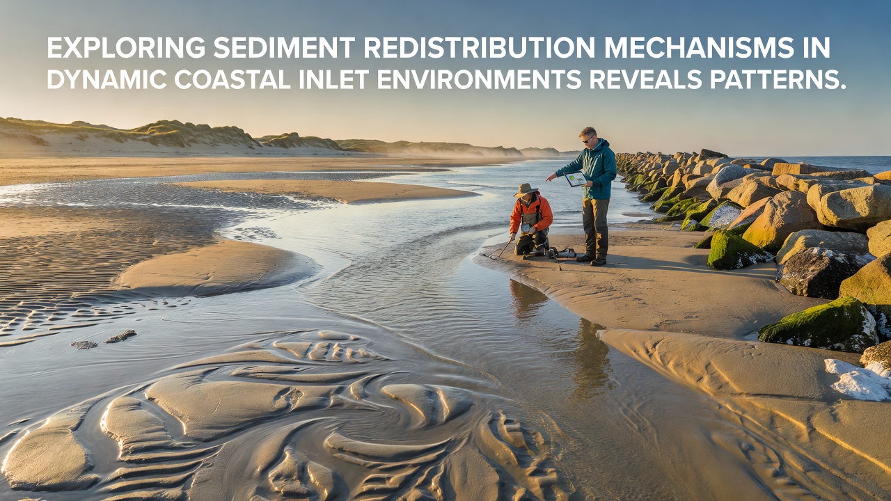
Patterns emerge when data from microtidal and mesotidal inlets are compared, and researchers find that flood-tidal deltas grow during periods of reduced wave energy while ebb-tidal deltas expand under stronger wave influence that pushes material seaward. In mixed-energy settings, the balance between tidal prism and wave power controls whether an inlet maintains a single throat or develops secondary channels that redistribute sediment across broader shoal fields. Field campaigns in the Wadden Sea and along the southeast Australian coastline illustrate these controls through repeated surveys that track bedform migration and channel avulsion.
Long-term records indicate that inlet sediment budgets often close at the scale of adjacent barrier-island segments, yet local hotspots of erosion and accretion shift position as the main ebb channel rotates in response to changing wave directions. Modeling runs reproduce these rotations when oblique wave approaches are included, and the results align with aerial photography sequences that document decades of inlet migration. What's interesting is how vegetation on back-barrier marshes stabilizes some of the finer sediment once it settles, reducing the amount available for later remobilization during subsequent tidal cycles.
Integration of Data Sources and Validation Methods
Validation exercises combine in-situ measurements with remote-sensing products such as satellite-derived turbidity maps and airborne lidar, and these combined datasets allow researchers to quantify uncertainties that arise from sparse sampling during extreme events. A European research consortium has published open-access model outputs that compare favorably with Canadian and New Zealand inlet observations, demonstrating that the same governing equations apply across different geological settings when boundary conditions are properly specified. Those outputs further show that sediment bypassing rates around ebb-tidal shoals follow predictable seasonal cycles tied to wave direction reversals.
Continued collection of high-resolution topographic data supports refinement of transport coefficients used in operational forecasting, and agencies responsible for navigation maintenance rely on these forecasts to schedule dredging that minimizes interference with natural redistribution processes. The reality is that inlet management decisions increasingly rest on model ensembles rather than single simulations, because ensemble spreads reveal the range of plausible outcomes under uncertain future forcing.
Conclusion
Comprehensive documentation of sediment redistribution now rests on the combined strength of dense field observations and validated numerical models that reproduce inlet behavior across varied coastal settings. Patterns identified through these methods guide ongoing monitoring programs and inform planning that accounts for both short-term storm responses and longer-term morphological adjustments. As new data streams become available, researchers continue to test and improve the predictive skill of existing frameworks while expanding coverage to additional inlet systems worldwide.